In the realm of water management, non-destructive flow surveys play a crucial role in understanding the dynamics of flow rates and discharges across various environments. Utilizing advanced technologies such as Doppler flow meters and Acoustic Doppler Current Profilers, these surveys provide essential data for open channels, drainage systems, and sewer pipelines.
Key Components of Flow Surveys
Flow Measurement
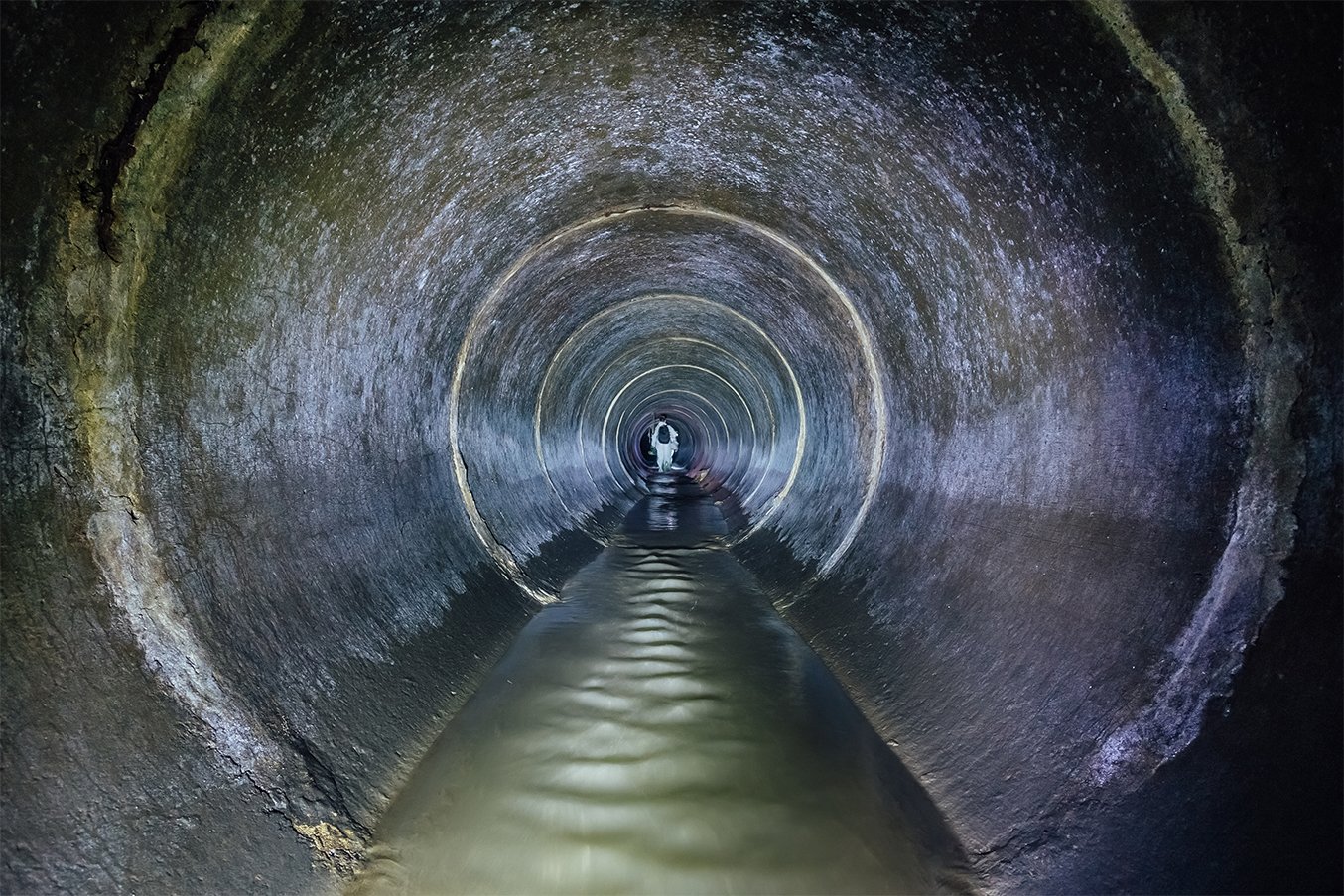
Flow surveys are designed to assess the flow rate of open channels, drainage systems, and pipelines. They encompass:
- Level Measurement: Accurate assessment of water levels in various environments.
- Velocity Measurement: Determining the speed of water flow to gauge system efficiency.
- Long-Term Flow Monitoring: Essential in hazardous or potentially hazardous areas to ensure safety and compliance.
Sanitary Sewer Evaluation Studies
These studies focus on the performance and condition of sewer systems, identifying issues that could lead to environmental hazards or system failures.
Combined Sewer Overflow (CSO) Monitoring
Monitoring CSOs is vital for managing stormwater and ensuring the integrity of urban drainage systems.
Applications of Flow Surveys
Non-destructive flow surveys are applicable across diverse settings, including:
- Open Channel and Pipe Flow Monitoring: Monitoring flow in natural streams, concrete-lined channels, and pipes.
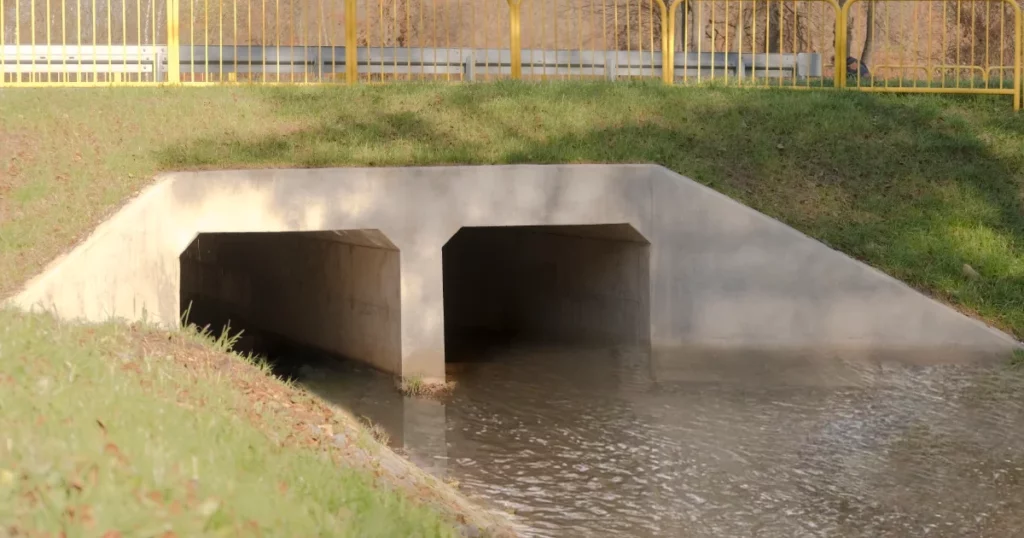
- Shallow Water Monitoring: Ideal for irrigation channels, culverts, and stormwater management.
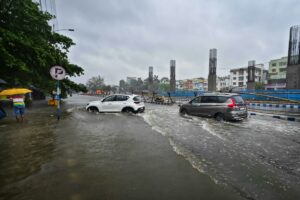
- Flood Alerts: Providing real-time data to mitigate flood risks.
Rain Gauge Measurement
Rain gauges are essential tools for collecting rainfall data over specified areas. Rainfall significantly influences watershed variables, affecting runoff, erosion, groundwater recharge, and stream water chemistry. The collected data serves multiple purposes:
- Designing Runoff Control Structures: Essential for the design of stormwater drains and bridges.
- Hydrological Modeling: Analyzing catchment areas to predict runoff patterns.
- Seasonal Rainfall Trends: Understanding variations in rainfall to inform agricultural practices and resource management.
River Discharge Surveys
River discharge surveys employ various techniques, including:
- Moving Vessel Discharge: Measuring flow rates from boats.
- Wading Discharge Measurement: Assessing flow in shallow waters.
- Velocity Indexing: Essential for flood alerts and water supply management.
- Pollution Monitoring: Ensuring water quality through continuous assessment.
Seabed Profiling Survey (Bathymetric Survey)
Bathymetric surveys are crucial for understanding underwater landscapes and currents. Applications include:
- Environmental Modeling: Assessing the ecological impact of human activities.
- Vessel Traffic Systems: Improving navigation in ports and harbors.
- Current Monitoring: Understanding shallow water currents in rivers and estuaries.


