3D Photogrammetry
Waterland is proud to present our Revolutionary Inspection Technology.
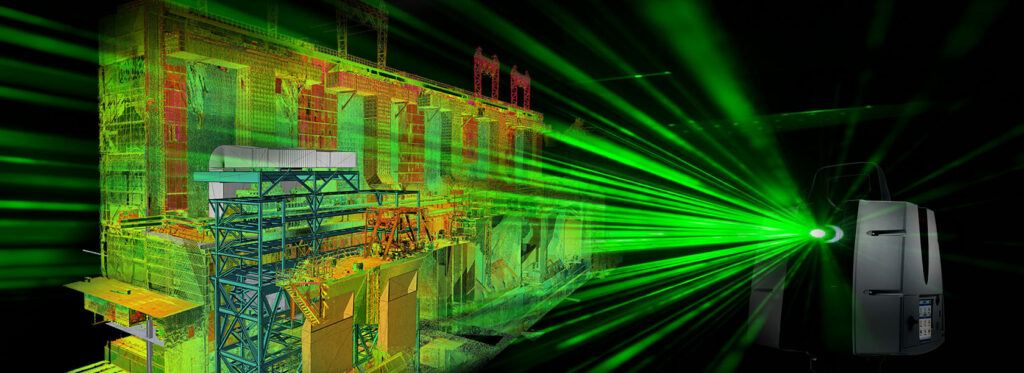
Utilizing a developed software and high definition scanner, we are capable of surveying and then generating a 3-Dimensional Model of the pipelines and manholes.
- Spherical and Digital 3D Scan for Pipe and Manhole
- Collection of millions of 3D points during the scan;
- 3D, Textured Point Clouds;
- 360-degree live video stream;
- Pipeline and Manhole geometry to render 3D visualization;
- Tablet Controlled, Portable equipment, Easily mobilized to sites;
- Ideal tool for pre/post inspection;
- Output for structural assessment, and pre/post rehabilitation analysis;
3D Laser Scanning
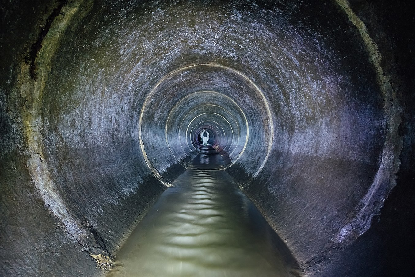
We specialize in advanced surveying techniques to provide high-resolution data for various civil engineering projects. Recently, we conducted a 3D laser scanning survey inside a culvert, allowing us to capture detailed insights into the internal site conditions.
As part of our commitment to delivering accurate and reliable data, we deployed state-of-the-art laser scanning equipment to access the manhole and culvert. This technique is invaluable for obtaining precise measurements and visualizations of complex structures.
The laser scanning process involves several key steps:
- Preparation: Setting up the laser scanning equipment at strategic points to ensure comprehensive area coverage.
- Data Capture: Conducting the laser scan generates a dense point cloud representing the internal dimensions and features of the culvert.
- Data Processing: Utilizing digital image processing and 3D mapping techniques to analyze and interpret the scanned data.
Our team gathered critical information regarding the condition of the culvert, including potential structural issues and areas requiring maintenance. The high-resolution data allows for better planning and decision-making in future engineering projects.
Following the successful laser scanning, we proceeded to create a detailed 3D digital model of the culvert. This model serves as a valuable resource for engineers and planners, facilitating improved project designs and assessments.


